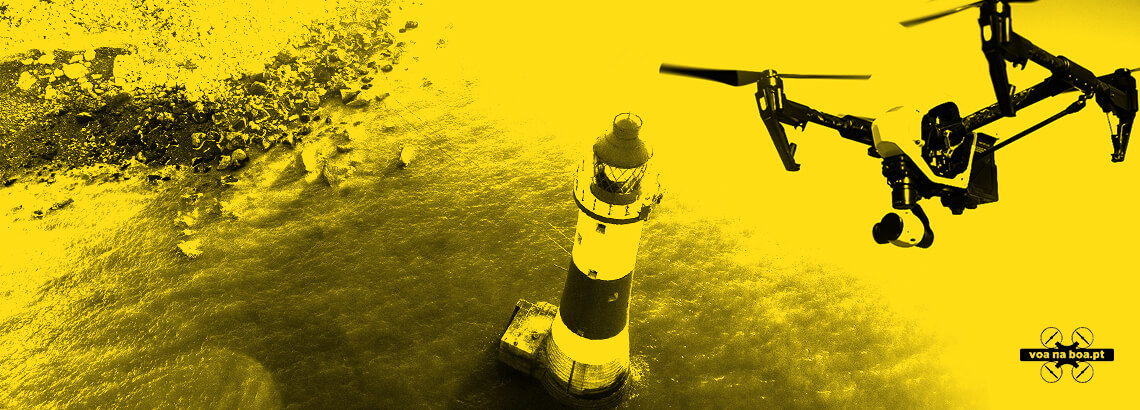
DIGITALWORKS CREATES APPLICATION ‘VOA NA BOA’
The mobile application that helps to understand where and under what conditions to fly drones, available for both iPhone and Android, has reached over 2000 downloads in just over a month. DigitalWorks is already preparing a new, feature-rich English-language, tablet-compliant version due out later this summer.
DigitalWorks is the company responsible for creating the National Civil Aviation Authority’s (ANAC) App ‘Voa na Boa’ that aims to support the decision process of how and where to pilot drones whilst also covering piloting rules, limited areas and zones and reasons for such restrictions.
The application, currently available exclusively for smartphones and in Portuguese, has already reached more than 2000 downloads in about a month.
This application is available for Android and iOS and allows you to consult the “drone code”, a map with the limited areas already demarcated. You can also automatically define your geo-location for the limitations that surround it and the conditions of flight in the place in which it is, or to plan future flights.
“With the recent drone legislation changes, there have been many questions about where and how to pilot a drone. The app that we have developed has been a great success, with more than 2000 downloads in the first month after the release, which is quite significant for an app that is only limited to Portugal and the Portuguese store. This is one of the applications developed by our company with the best results in terms of success and buzz generated in social networks, Droners communities, etc., which makes us quite proud but, most importantly, a very satisfied customer.” Ricardo Rocha, Commercial Director of DigitalWorks Portugal. “These are native mobile apps, for Android smartphones and iOS. Soon we will launch a new version with more features and also for tablets “.
With this application it is possible to see what are the locations available in Portugal, delimited and identified by colours that represent the different types of restrictions: Green – Free flight; Blue – Flight conditioning; Yellow – Flight requiring authorisation; Orange – Area of military jurisdiction; Red – Flight prohibited. In the case of zones subject to conditioning, it is also possible to understand the reason for the restriction (near an airport, military area, hospital, among others) and also to know in real time the flight rules for the location in question or for each one of the areas.
The application also allows you to consult the “drone code” to better understand the flight rules and safety recommendations, as well as have access to a Q&A section.
DigitalWorks was responsible for the entire development of the application, from the consultancy and design phase of the solution, UI and UX Design, integration of the Google Earth files (.kml) of ANAC territory mapping and native application development/programming.